No Category
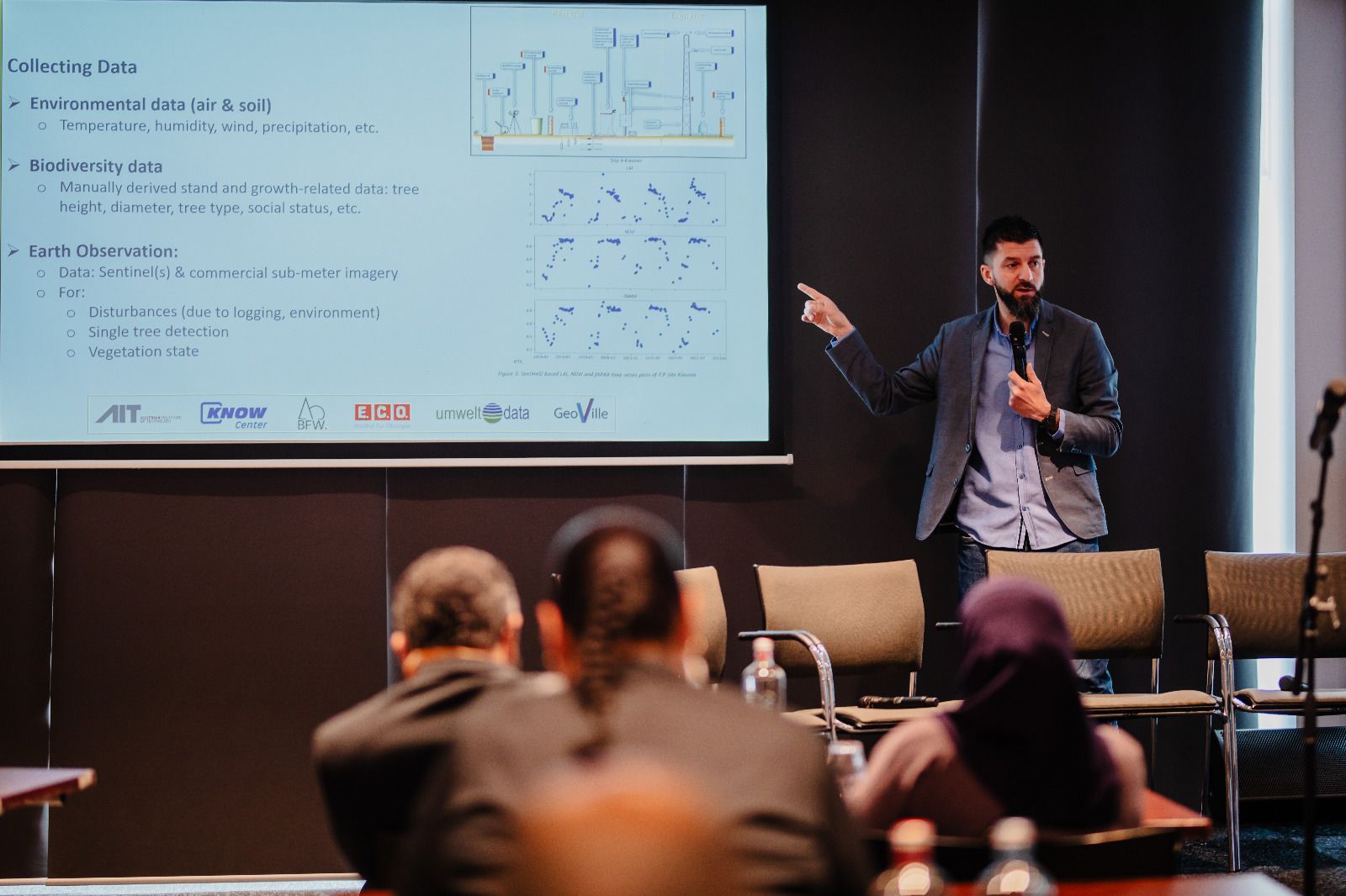
We enjoyed presenting AI4Trees project outputs and conversating with the GWF2024 participants in the Sustanability, Environment and Governance session with a lot of focus on ClimateChange!
No Category
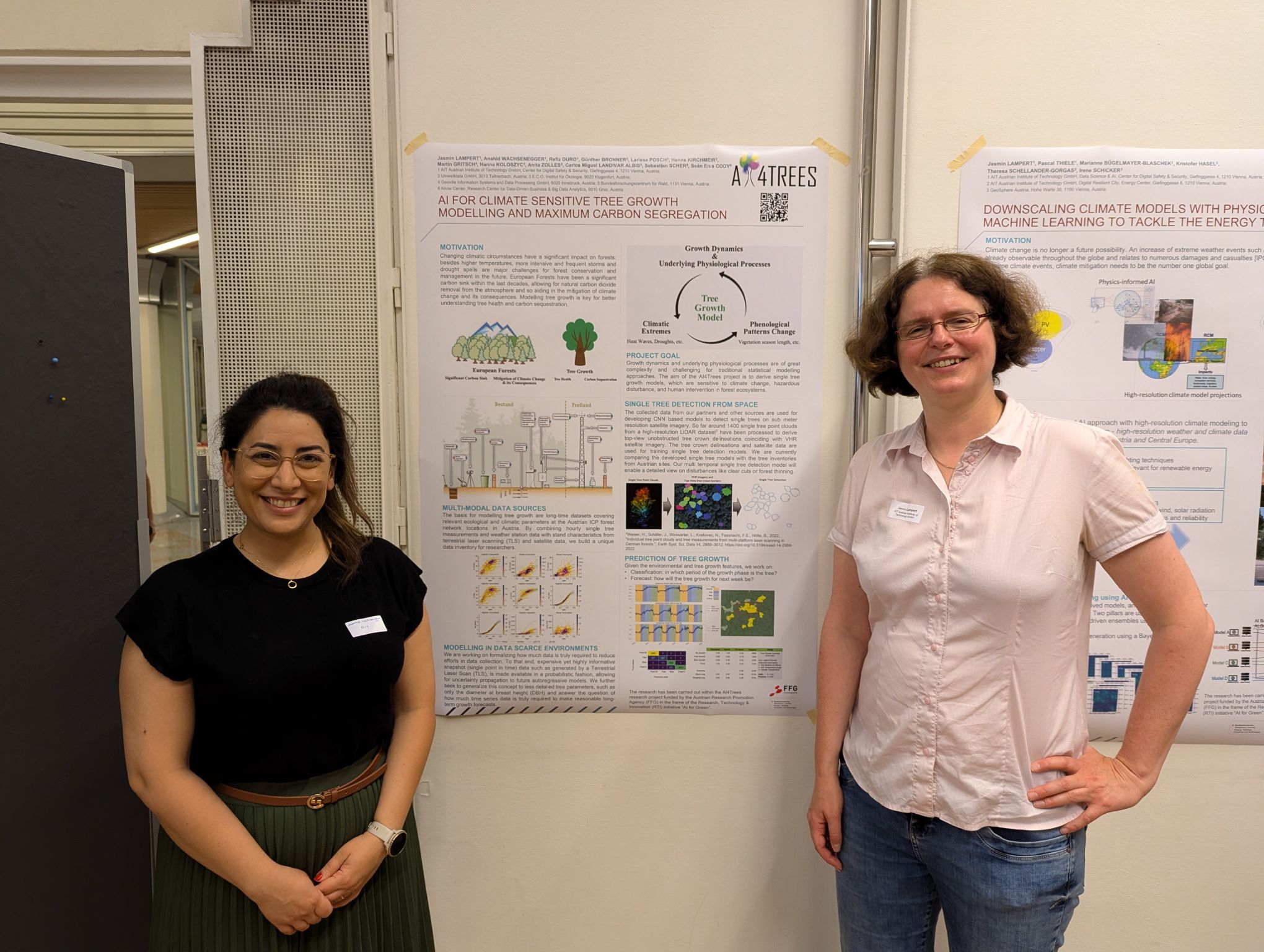
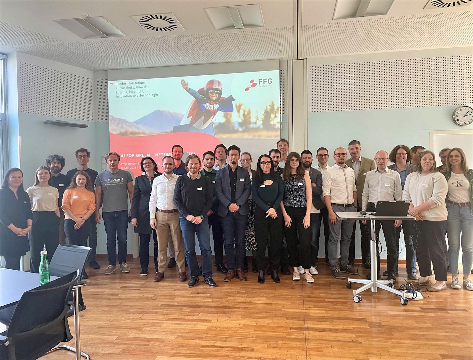
On 26 June, our project team has been invited to present AI4Trees at the AI4Green Networking Meeting at the Bundesministerium für Klimaschutz, Umwelt, Energie, Mobilität, Innovation & Technologie. It provided a unique opportunity to network with other AI4Green projects and to share our latest achievements. XAI […]
No Category
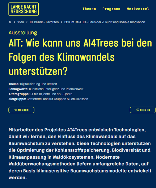
Mitarbeiter des Projektes AI4Trees entwickeln Technologien, damit wir lernen, den Einfluss des Klimawandels auf das Baumwachstum zu verstehen. Diese Technologien unterstützen die Optimierung der Kohlenstoffspeicherung, Biodiversität und Klimaanpassung in Waldökosystemen. Modernste Waldüberwachungsmethoden liefern umfangreiche Daten, auf deren Basis klimasensitive Baumwachstumsmodelle entwickelt werden.

No Category
AI4Trees will be showing the results at EGU 2025 conference in Vienna at the end of April. The team submitted two abstracts and both got accepted: “Advancing Tree Growth Prediction with Interactive and eXplainable AI for Tackling Climate Change” (Wachsenegger et al. 2025) “Advanced Monitoring Techniques […]
No Category
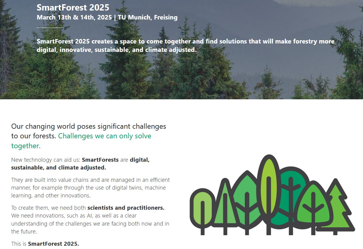
AI4Trees was presented at the SmartForest.ai conference, where over 150 participants from five countries gathered to discuss the intersection of forestry, science, and technology. With 33% female participation, the event fostered diverse and high-quality discussions across more than 60 presentations in four main sessions and nine […]

No Category
“Tackling some of the greatest challenges of the Agenda for Sustainable Development – from improving health to combating climate change – will rely on harnessing all talent. That means getting more women working in these fields. Diversity in research expands the pool of talented researchers, bringing […]
No Category
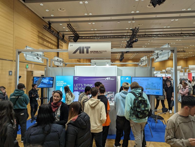
AI4Trees at the Gewinn InfoDays (Messe). Companies were presented to many students looking for their future steps in life! AI4Trees was put on the map by Jasmin Lampert. The details are provided in the Gewinn page: https://www.gewinn.com/veranstaltung/das-war-der-gewinn-infoday-2023.
No Category
Explainable Artificial Intelligence (XAI) is gaining importance in various fields, including forestry and tree-growth modelling. However, challenges such as evaluating model interpretability, lack of transparency in some XAI methods, inconsistent terminology, and bias towards specific data types hinder its integration. In their article our colleagues Anahid […]
No Category
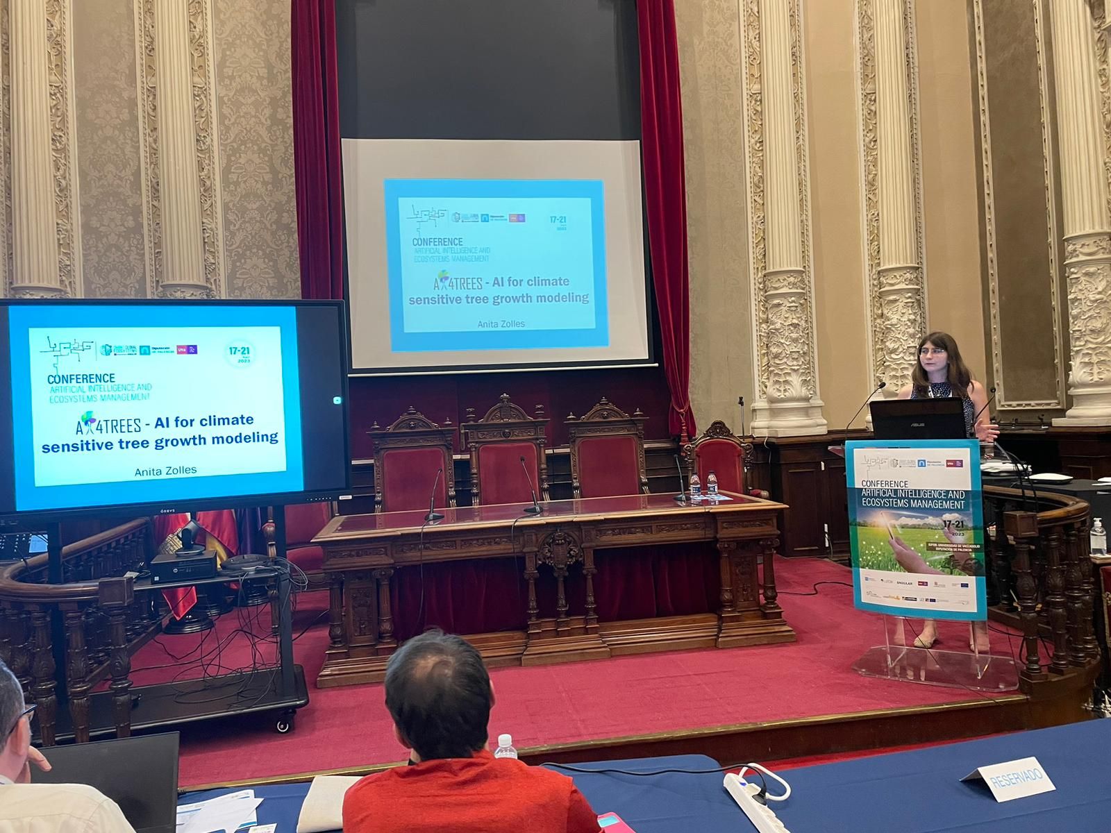
Anita Zolles presented the AI4Trees projects at the AI for ecosystem management conference in Palencia, Spain. Roundabout 100 researchers from 5 continents where meeting and discussing AI for sustainable management of forest ecosystems.
No Category
Cool project ideas within the FFG AI for Green funding frame, with great networking and discussions! AI4Trees was likewise presented at the event.